MAPPING AND PLACE
Digital Media Graduate Seminar
Fall 2005, Spring 2008, Fall 2010
http://layoftheland.net/archive/art6933_mapping2010/
This seminar introduces students to mapping as a potential methodology for their own art practice, interpreting and situating their work with a physical and/or virtual context/place. Students interface with the local landscape conducting experiments and interventions with their surroundings as pedestrians and cyclists with the intention of developing strategies that inform their work. This class looks for the connections between students' own work and geography, landscape architecture, critical theory, anthropology, and natural resources.
To view student work for a particular topic, click on the links below and scroll through the images to the right. Roll over captions to stop scrolling.
Student Work
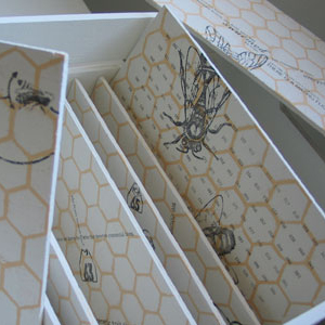
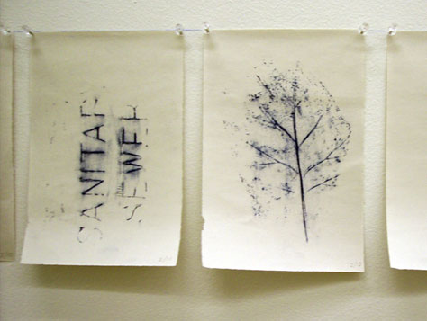
Assorted mapping experiments that include visualizations of derives, ubiquitous space, theoretical texts and collaborative projects.
-
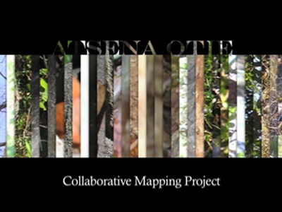
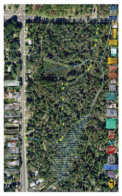
Atsenie Otie Key Collaboration | 2005
map of a uninhabited island, gulf coast Florida